|
We're fascinated by our waterfront signs and the opportunities they
highlight, so we're beginning a collection here.
Just click the sign image for a full-sized picture
showing the sign in its original context. 
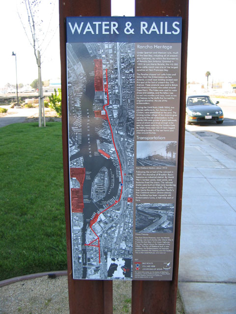
This interpretive historical marker and 11 others
are installed along the 6.2 mile long Bay Trail segment extending from
West Oakland to Embarcadero Cove. They provide significant detail about the
waterfront history of the area.
See all the markers>

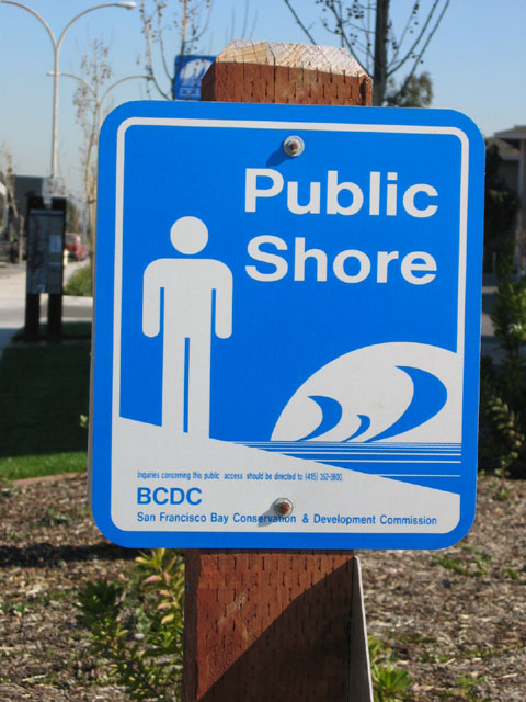
Clearly, this sign exemplifies a key goal of Waterfront Action - to
increase public access to our waterfront. This signage is mandated by
the Bay Conservation and Development Commission where public shoreline
segments within their jurisdiction are dedicated.
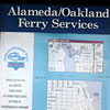
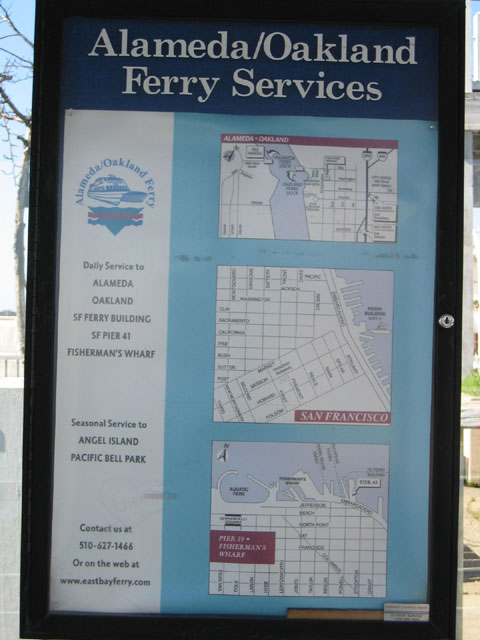
Public transportation by ferry is in our future, and this sign
highlights the trend.
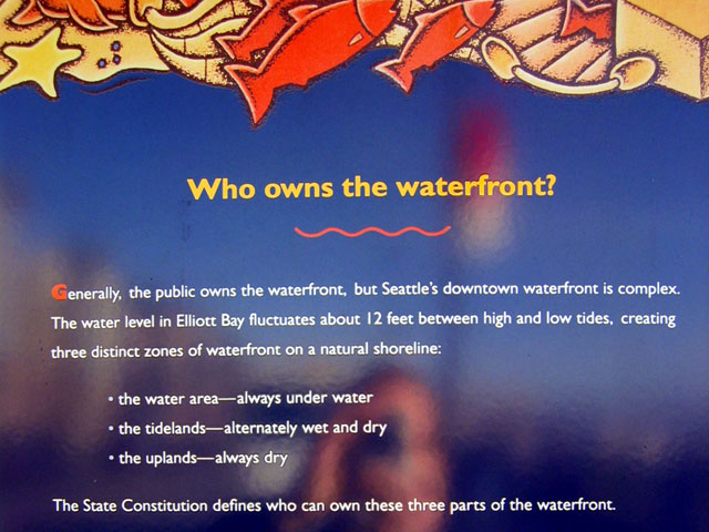
 Who Owns the Waterfront?, an educational sign from the Seattle water's
edge. Who Owns the Waterfront?, an educational sign from the Seattle water's
edge.
In California, the Public Trust
Doctrine provides guidance about who owns the waterfront.
|